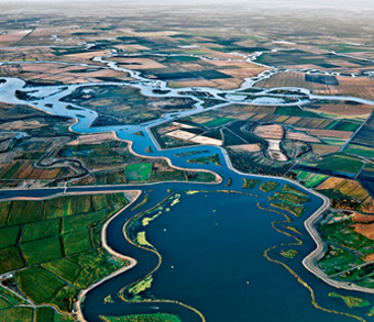
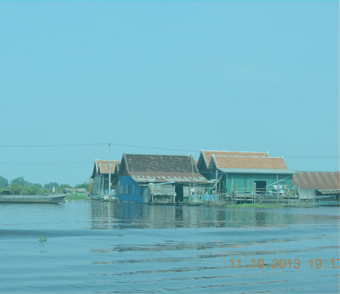
To restore degraded river systems or identify the bounds of their tolerance to future development, it is necessary to understand and predict how water management alternatives will affect hydrologic, biologic and socio-economic elements throughout a watershed.
In tandem with local communities and government partners, NHI has developed and implemented a suite of sophisticated watershed and hydrologic models to simulate physical processes in river basins, often scaled to represent entire watersheds. The models utilize advanced “real-time” computerized modeling in combination with a stakeholder-driven process to evaluate the feasibility of solution options – often strategies to optimize developed river systems – to meet agricultural, urban and environmental needs. These reconnaissance-level planning tools are being used to promote sustainable development and protect biodiversity in diverse river basins world-wide.
NHI’s modeling team also has the capacity to integrate the continuum of hydrologic, hydraulic, water resource systems, biologic and socio-economic tools in ways that can illuminate the opportunities for optimizing water resource projects for environmental performance. However, our ability to build the analytic tools with the appropriate level of sophistication is often limited by the quality and quantity of data available. This is true even in the United States and much more so in developing countries in which we operate. Much of the art of simulating complex river systems consists of devices for extrapolating over and around the inevitable data gaps.
NHI continues to build our modeling capabilities to:
- Evaluate water infrastructure reoperation scenarios;
- Comprehend groundwater-surface water interactions;
- Understand the dynamics that shape water use choices made by individual water users and water management organizations;
- Describe changes in watershed processes under alternative future climate scenarios;
- Relate changes in flow patterns in rivers and streams to changes in the biophysical condition of the resource;
- Track flow patterns through landscapes; and
- Optimize water project operations to meet specified water service objectives.
Because of the wide array of modeling specialization required for our work, increasingly in the future we will procure the requisite expertise not only from resident staff but also through a network of systematic alliances with university modeling shops and private consulting firms that are eager to collaborate in our projects. This network includes the most prestigious hydrologic modeling centers in the world. Under this construct, NHI is never capacity-limited in undertaking the complex water resource improvement projects that are our forte.

